
TRIP IDEAS
You will find it easy to get distracted by the variety of activities and attractions along the Byway. We have developed detailed itineraries to travel long lengths of the Volcanic Legacy Byway from various starting points. We have also outlined activities for deep explorations of each of the regions that surround the route. Depending on how many days you plan to spend on the Byway, choose from the adventures listed below. Be sure to check with the area’s chambers of commerce & visitors bureaus for lodging. On your drive along this unique corridor we invite to allow yourself to be distracted, because out here the adventure begins with the journey.
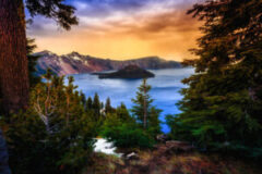
Legend has it that many years ago, two Klamath gods got into a great fight. Llao, god of the underworld, lived deep beneath Mount Mazama but fell in love with the Chief’s beautiful daughter. When she refused his advances, he became angry and hurled fire onto the village from an opening at the top of the mountain. Skell, spirit of the sky, decided to defend the villagers from Llao’s wrath. A battle ensued, and as Llao and Skell hurled giant rocks at each other, the earth trembled and landslides of fire spilled from the mountaintops. Llao was eventually driven back into the underworld and in order to keep him there, Skell covered the opening of Mount Mazama and filled the pit with water. Today, we call that water Crater Lake.
One of the best ways to experience this natural wonder is on a drive along the Volcanic Legacy Scenic Byway All-American Road. But that is not the only story this stretch of the Byway has to tell. Millions of years after the mountains and volcanoes emerged from the land, another treasure revealed itself – gold. All it took was one shiny flake for boom towns like Redding and Yreka to spring up overnight with hopefuls in search of a new life and a little bit of gold. From historic Main Streets to museums full of fascinating artifacts, history will come alive right before your eyes as you travel along the Volcanic Legacy Scenic Byway.
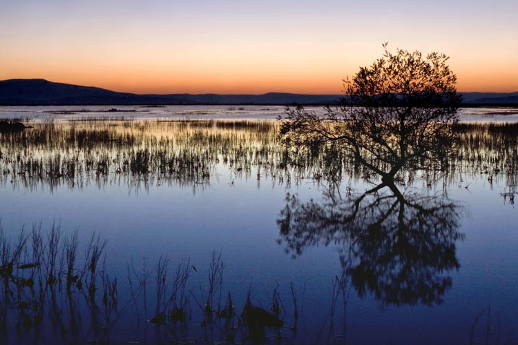
Calling all wildlife and nature enthusiasts! The Volcanic Legacy Scenic Byway All-American Road is a veritable who’s-who of the Pacific Northwest animal kingdom. Over 200 species of birds and dozens of animals such as pronghorn antelope, mule deer, river otters, trout, and coyote live on the six National Wildlife Refuges nestled within Oregon’s Klamath Basin region. Thanks to the thousands of acres of grasslands, forests, farms, and wetlands that make up this area, birds like bald eagles, sandhill cranes, pelicans, swans, and falcons have been spotted amongst the trees. In fact, more than 80 percent of all migrating birds stop in the Klamath Basin, and in the spring and fall seasons, migratory waterfowl can number in the millions.
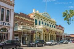
Towering cattails, dense tule, aromatic sagebrush, and lush pine forests line the Byway as you venture deep into Northern California to visit towns like Weed, McCloud, and Susanville. Travel back in time with walks down historic Main Streets and let history be your guide as you learn the story of how the railroad and lumber industries played an integral role in the development of these communities. From homemade breakfasts at the local diner to antique furniture in 19th century inns, these cities are big on small-town charm and ready to introduce you to the Volcanic Legacy Scenic Byway.
Imagine a landscape where steam rises up from the ground in sudden bursts, iridescent pools bubble and gurgle, brilliant wildflowers dot the side of towering mountains, and jagged peaks lie as far as the eye can see. No, you’re not on the moon. You’re in Lassen Volcanic National Park! The dramatic scenery surrounding this park tells the tale of the area’s wild geologic history, and there is no better way to hear that story than on the Volcanic Legacy Scenic Byway All-American Road.
On this stretch of the Byway, you’ll wind through Lassen Volcanic National Park for 30 stunning miles, and immerse yourself in the surreal world of cracking fumaroles, banging mudpots, and plunging alpine waterfalls. Then, take a deep breath as you leave the sulfurous volcanoes behind and enter the lush pine forests that surround the towns of Chester, Susanville, and Westwood. These historic lumber and mill towns were critical to the development of Northern California and still retain their community pride and small-town charm while serving as a fantastic home base for outdoor adventure activities like hiking, biking, and swimming. Take a dip in a shimmering lake, walk beneath the shade of towering trees, listen for the distant whistle of an eagle flying high overhead, and marvel at the geologic wonders found on the Volcanic Legacy Scenic Byway.
Life in the Pacific Northwest was quite different 200 years ago. Most buildings were made out of wood, horse-drawn carriages grappled for space on city streets, and townspeople took bets on when the railroad would arrive and launch the community into modernity. Whispers of this era can still be heard throughout the region, and there is no better place on which to listen to the past than on the Volcanic Legacy Scenic Byway All-American Road. Sitting at the intersection of history and geology, this route tells the tale of cities like McCloud and Mt. Shasta, where the burgeoning lumber industry helped create these mill towns practically overnight, and of Tulelake, which played a poignant role in the second World War.
But American history is not the only story told on this Byway. Millions of years ago, the land sputtered and cracked and molten lava burst through the ground, creating an otherworldly volcanic landscape dotted with towering mountains, desert caves, natural bridges, and giant lava tubes. This section of the Byway takes you directly to locations like Medicine Lake, Lava Beds National Monument, and Crater Lake National Park, prime examples of this fascinating geologic era and where you can dip your toes in an alpine lake, thousands of feet above sea level.
STOP 1: CRATER LAKE NATIONAL PARK
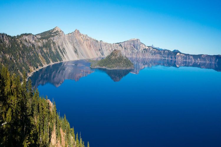
Native Americans witnessed the formation of Crater Lake 7,700 years ago when a violent eruption triggered the collapse of Mount Mazama, a tall peak that was half a million years old. On the east side of Crater Lake, rocks that are 430,000 years old form Mount Scott. Pristine waters fed by rain and snow filled the caldera (Spanish for “kettle” or “boiler”), the deepest lake in the United States. Spend the day exploring the surrounding area, established as a US National Park in 1902…
See our featured stop page to read more about Crater Lake National Park – and to get a step-by-step guide to experiencing the top highlights that the Volcanic Legacy Scenic Byway has to offer!
Come in to the Lassen Peak area from Interstate 5 at Red Bluff on Highway 36 or Redding at Highway 44. From the east you can get to the Park by coming through Susanville and heading west on Highway 36 then north on Highway 89.
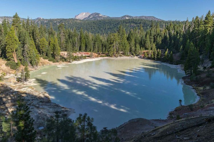
Lassen Volcanic National Park is home to Lassen Peak, one of the largest plug dome volcanoes in the world. Geothermal features like the boiling mud pots and steaming fumaroles of Bumpass Hell, Boiling Springs lakes and Terminal Geyser attest to the heat that lies beneath the surface. The area’s last eruptive episodes began in 1914 and massive mudflows caused by eruptions created “The Devastated Area.”
The park is not all steaming lakes and sulfur. It is also home to 150 miles of trails and opportunities for swimming, boating, fishing, cycling and back country hiking and camping. At the Loomis Museum visitors can learn about the cultural and geologic history of the park as well as get information about programs and events. The Park also has a naturalist-led program that takes visitors on a journey through the park while they learn about various features.
After a day of outdoor adventure, travelers can rest in the communities of Burney, Chester or Susanville, which offer nearby lodging and dining.
Activities and access are limited at the Park during the winter and spring months; however, cross country skiing, snowshoeing and snowmobiling are permitted.
Come in to the Lake Almanor area from Sacramento by following Highway 99 to Chico and then heading east on Highway 32. You can take a more southerly route by cutting east from Oroville then north on Highway 89 through the town of Greenville to the southern tip of Lake Almanor.
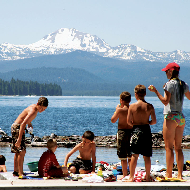
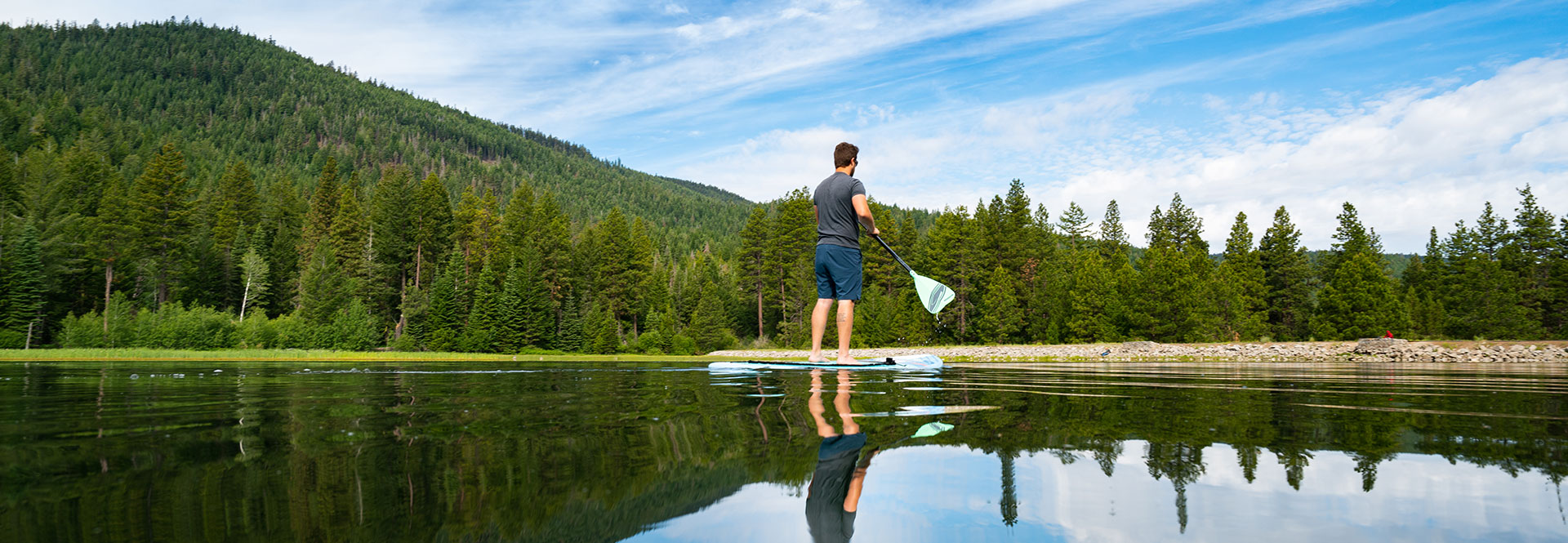
Lake Almanor is a water lover’s paradise. The lake is home to great year-round fishing and just about any kind of water craft activities. The west side of the lake, where you’ll find the town of Almanor and other small villages, has a wonderful summer family camp atmosphere. Camp resorts and inns along the lake shore put you right on the water and also offer hiking, biking and dog walking trails for a little time on land. The area also has new SUV routes for drivers looking to throw up some dust.
The east side of the lake has great views of Mount Lassen and has a more secluded feel. On the northern end of the lake Chester is a great place to stay for the night and get dinner and supplies. While in Chester be sure to look for “Dinky” the Locomotive on Main Street.
The peninsula area on the north end is exploding with development and is home to a growing number of beautiful golf courses. For a look back into the logging history of the area, take a short drive east on Highway 36 to Westwood and on the way look for the Biz Johnson Trail along the highway that was built on 25 miles of old Southern Pacific Railroad bed.
The best entrance into the Waterfalls Region is to continue northward on the Byway from either of the southern entrances listed above. A western entrance from Interstate 5 is available on Highway, between the town of Mount Shasta and Dunsmuir.
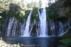
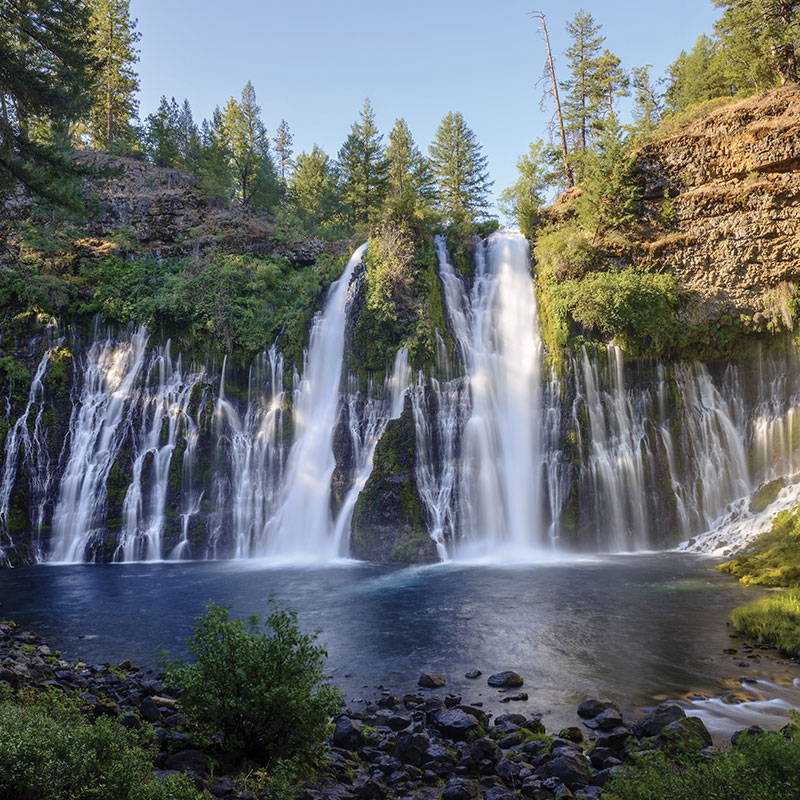
The Waterfalls Region is home to Burney Falls and the McCloud River Falls, displaying a total of four waterfalls to travelers. As you drive north on the Byway the first stop of the day will be at McArthur-Burney Falls Memorial State Park. The Park offers five miles of hiking trails, which includes a trail to the base of 129-foot Burney Falls where visitors can bask in the mist from the falls. The Park also includes a section of the Pacific Crest Trail as well as campsites and showers, making it an ideal overnight stop. The nearby town of Burney is a good place to get a meal and stock up on snacks and drinks.
Shortly after leaving the Park, the Byway crosses over Lake Britton, where outdoor lovers can enjoy fishing, boating and camping.
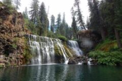
The next stop for water lovers is the McCloud Falls complex, which has trails along the river, picnic areas, campgrounds and handicap accessible areas. At Fowler’s Camp travelers can walk down onto a rock ledge to fish or perhaps swim in the cold water. Trails through the forest lead to the Middle and Upper Falls. The McCloud River is also a year-round fly-fishing river that empties into the remote Lake McCloud.
After a day in the Waterfalls Region lodging, dining and services are available in the towns of McCloud and Mount Shasta.
Travelers heading south from Oregon can enter the Byway from Interstate 5 at Weed or Mount Shasta. Those heading north from Redding can do the same. This is the only region of the Byway that contains a portion of Interstate 5.
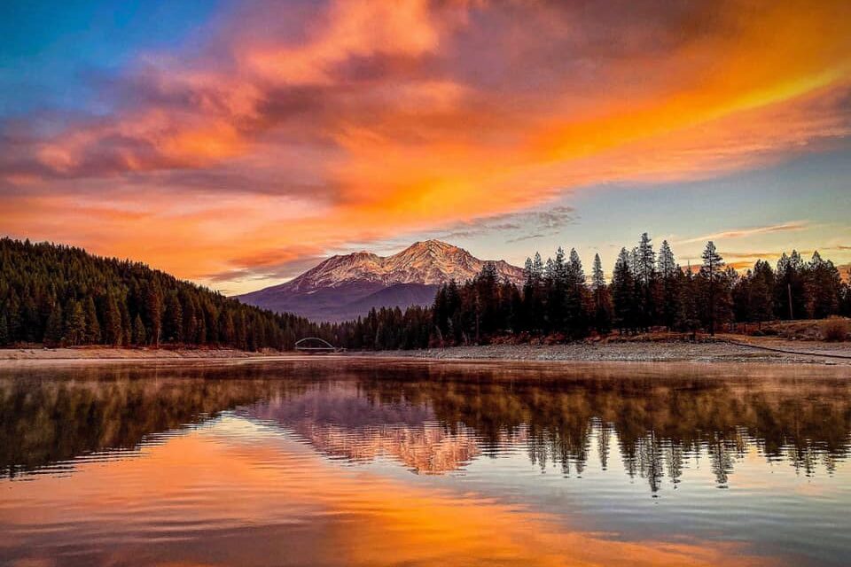
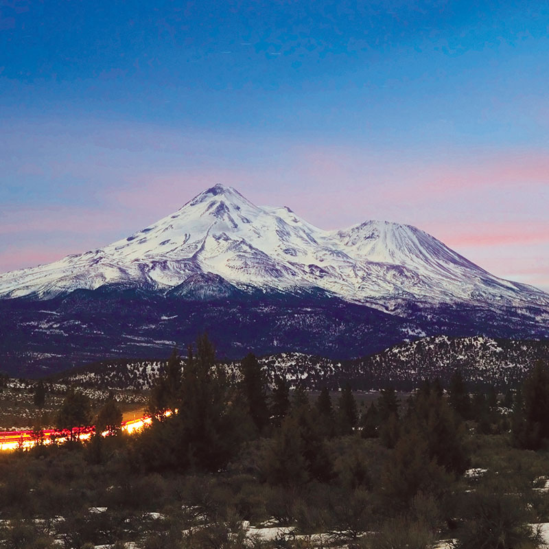
The Mount Shasta Region offers travelers the opportunity to get up close to a stratovolcano. The 14,162-foot Mount Shasta has an eruptive past, with four vents on the mountain itself and four more on Black Butte, the plug dome to the north. In Mt. Shasta city take Everitt Memorial Highway to approximately 8,000 feet on the slopes of the mountain. At Bunny Flat visitors can stop just for the view or to hike the trail to the cabin at Horse Camp where they can drink from the spring during early summer.
Adventurers who are interested in hiking on Mount Shasta, attempting a summit climb or learning about the geologic past of the mountain should visit the Mount Shasta Ranger District office.
Farther north around the mountain travelers will come to the historic logging town of Weed where many of the old lumber town homes and buildings still stand. Outside of Weed, on Highway 97 heading north, travelers can take time out at the Living Memorial Sculpture Garden to view the memorials to America’s veterans and to walk the Labyrinth. This area also offers a view of the mountain quite different from the view in Mt. Shasta city.
Both Weed and Mt. Shasta offer lodging, dining and services, as well as entry onto Interstate 5.
Travelers heading south in Oregon can enter the Byway from Interstate 5 by heading east at Ashland on Highway 66. To get to this region turn south on Highway 97. Those heading north from Redding should take the Weed exit on Interstate 5 and head east on Highway 97.
This region offers a diverse selection of activities from wildlife viewing to spelunking. The towns of Macdoel and Dorris are part of the thriving agricultural community. In Dorris travelers can view the tallest flagpole west of the Mississippi River. At Highway 161 turn east and enter the Klamath Basin where wildlife viewing is available at the Lower Klamath National Wildlife Refuge and the Tule Lake National Wildlife Refuge. Both refuges have self-guided driving tour routes and are home to huge numbers of wintering bald eagles. The Refuge Visitors Center on Hill Road has a vast information base regarding the species that live and migrate to the refuges as well as an interpretive area.
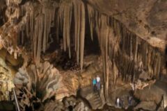
If you continue driving south on Hill Road you will enter the Lava Beds National Monument, where a band of Modoc Indians used the harsh volcanic landscape to hold off the U.S. Army in the Modoc Indian War of 1872-73. The Visitors Center has information about the war and Captain Jack’s Stronghold, which the Modocs used as a fortress. The Lava Beds is home to hundreds of caves created by underground lava flows during the creation of the Medicine Lake shield volcano.
Itinerary
There are several ways to enter Crater Lake. From Interstate 5 in Medford, Oregon, take Hwy 140 East and continue on up North to Hwy 62. Coming from the South, you can enter Hwy 97 from Weed , CA on I-5 and take the Scenic Byway up by the wildlife refuges, near the Lava Beds National Monument, and through Klamath Falls.
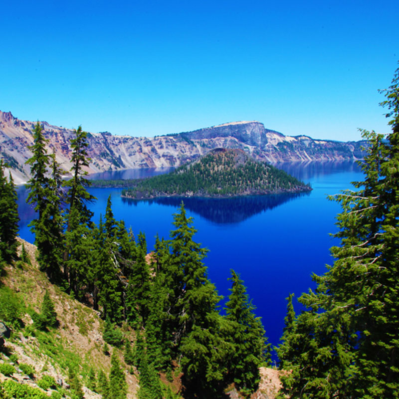
The Crater Lake Region is home, of course, to Crater Lake – a shimmering body of water that fills the caldera of Mount Mazama. The lake fills a gaping hole left by one of the earth’s largest explosion in 8,000 years. As the northern jewel of the Volcanic Legacy Scenic Byway, Crater Lake can stun visitors with its beauty. The lake, which is the deepest in the United States, can be explored in many ways, including taking a boat to Wizard Island.
At Fort Klamath you will have opportunities to learn about the Modoc Indians and their struggles with settlers. The Klamath County Visitors Center in Klamath Falls can provide you with information about the outstanding wildlife viewing in the Klamath Basin.
As you catch glimpses of Mount McLoughlin and Mount Scott along the Byway, remember that you are entering into a land of powerful upheaval where natural beauty and adventure are plentiful.
