
KLAMATH FALLS TO HWY 62 – WHAT TO EXPECT
This section of the byway – traveling north from Klamath Falls to the south entrance of Crater Lake National Park – is about 60 miles. To get to the Park, take highway 140 west then turn right onto Westside Road. Continue until it dead ends then turn left onto Weed Road. In a short distance this ends but continue straight onto highway 62 which takes you into the Park.
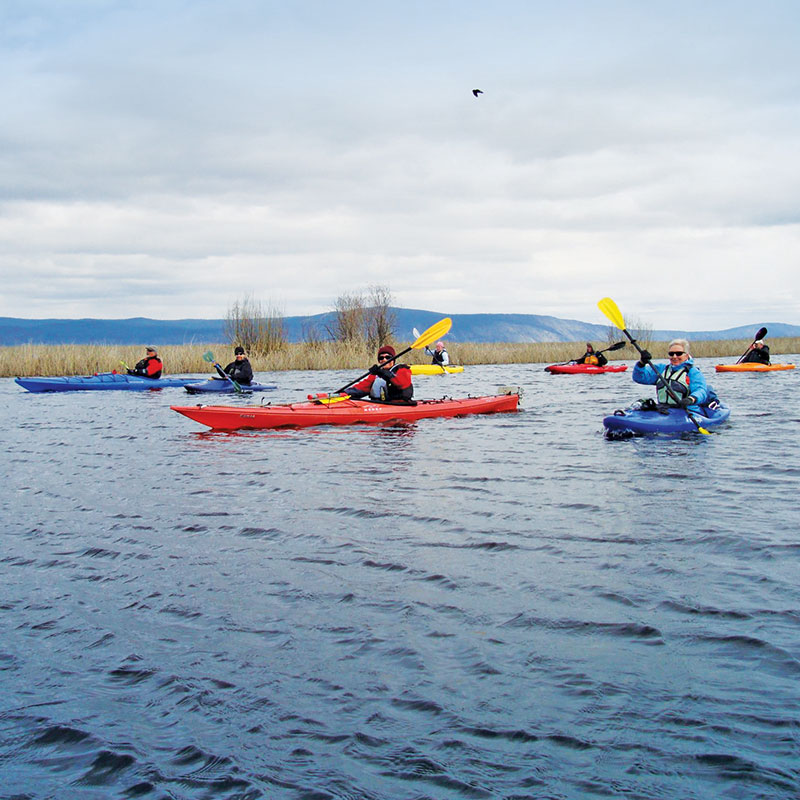
This section of the byway takes you through the Fremont Winema National Forest and the Upper Klamath Basin. The area provides superb viewing and a wide range of outdoor adventures.
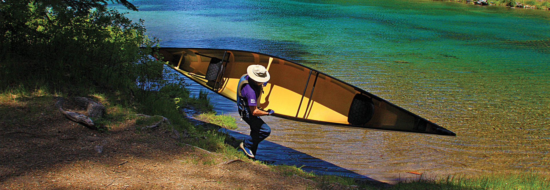
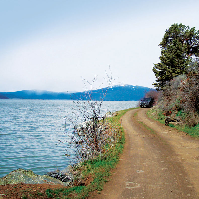
As you travel along highway 140 Upper Klamath Lake will be on your right side. It’s nearly 30 miles long and eight miles wide at points, covering 133 square miles. This lake is largest body of fresh water west of the Rockies. As you veer away from the lake and head over Doak Mountain, the Spence Mountain trail system will be on your right. This destination mountain biking and hiking area boasts nearly 50 miles of professionally developed single-track trails with breathtaking views of Upper Klamath Lake and the Klamath Basin
West Side Road takes you through a thick forest of mature firs which give way to peaceful pasture lands as you arrive in rustic Fort Klamath. Now a cattle-raising district, this area was home to a historic military installation in the mid to late 1800s. Today, the Fort Klamath Museum provides a reconstruction of one of the original buildings with historical displays that take you back to those times when native populations lived in this region.
As you leave Fort Klamath you will immediately notice you begin to gain elevation. You’ll continue on highway 62 into Crater Lake National Park. Clear signs will direct you to the entrance.
KEY POINTS
Eagle Ridge County Park
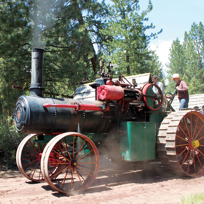
Collier Memorial State Park & Logging Museum
Fort Klamath Museum
Jackson Kimball State Park
